A field atlas of quiet Texas
The path less traveled, written down by the man who drove it.
A spring, a waterfall, a lake, a swimming hole, and the Gulf coast. What each one is, what it costs, when to go, and where to sleep nearby.
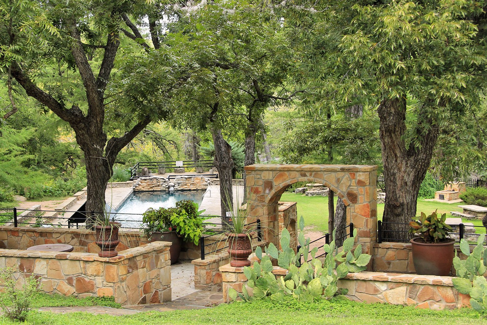
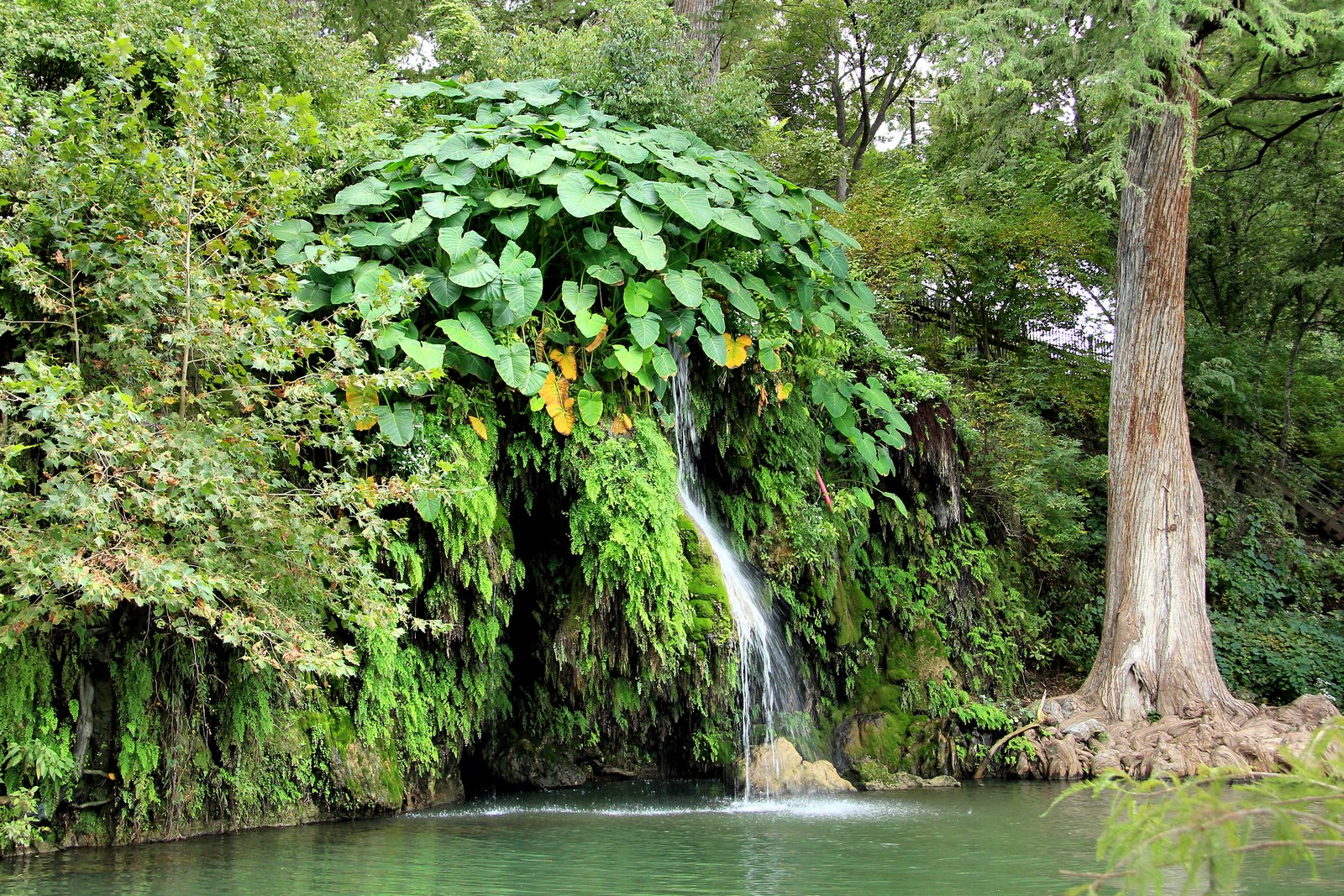
30.4805° N · 98.1459° WKrause Springs, Spicewood
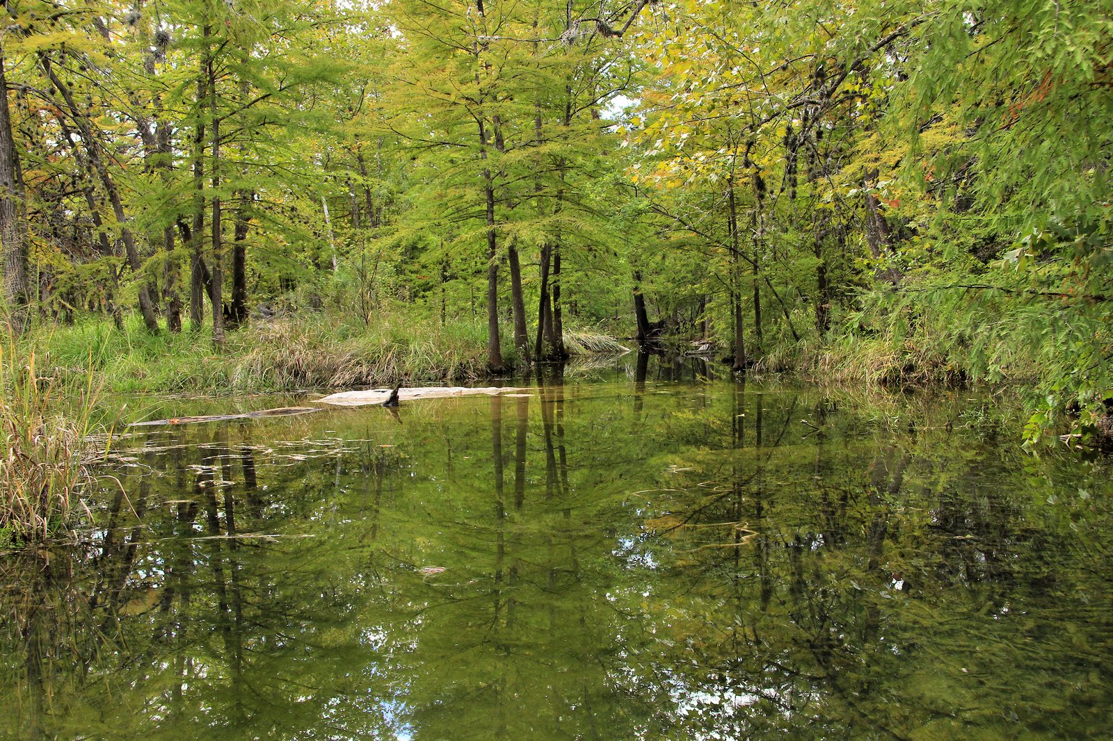
Photo by Larry D. Moore, CC BY 4.0 (opens in a new tab), via Wikimedia Commons (opens in a new tab).
How to use this atlas
Think of this as a collection, not a list. Every place gets a plan in plain words.
What the place is. What to know before you leave. And the honest catches, dated and cited, so nobody wastes a Saturday on a closed gate. Follow the trail down the page. The practical facts sit at the top of each place, not at the end.
01
The spring
Proctor Springs
31.57325° N · 97.14892° W · Cameron Park, Waco, Texas
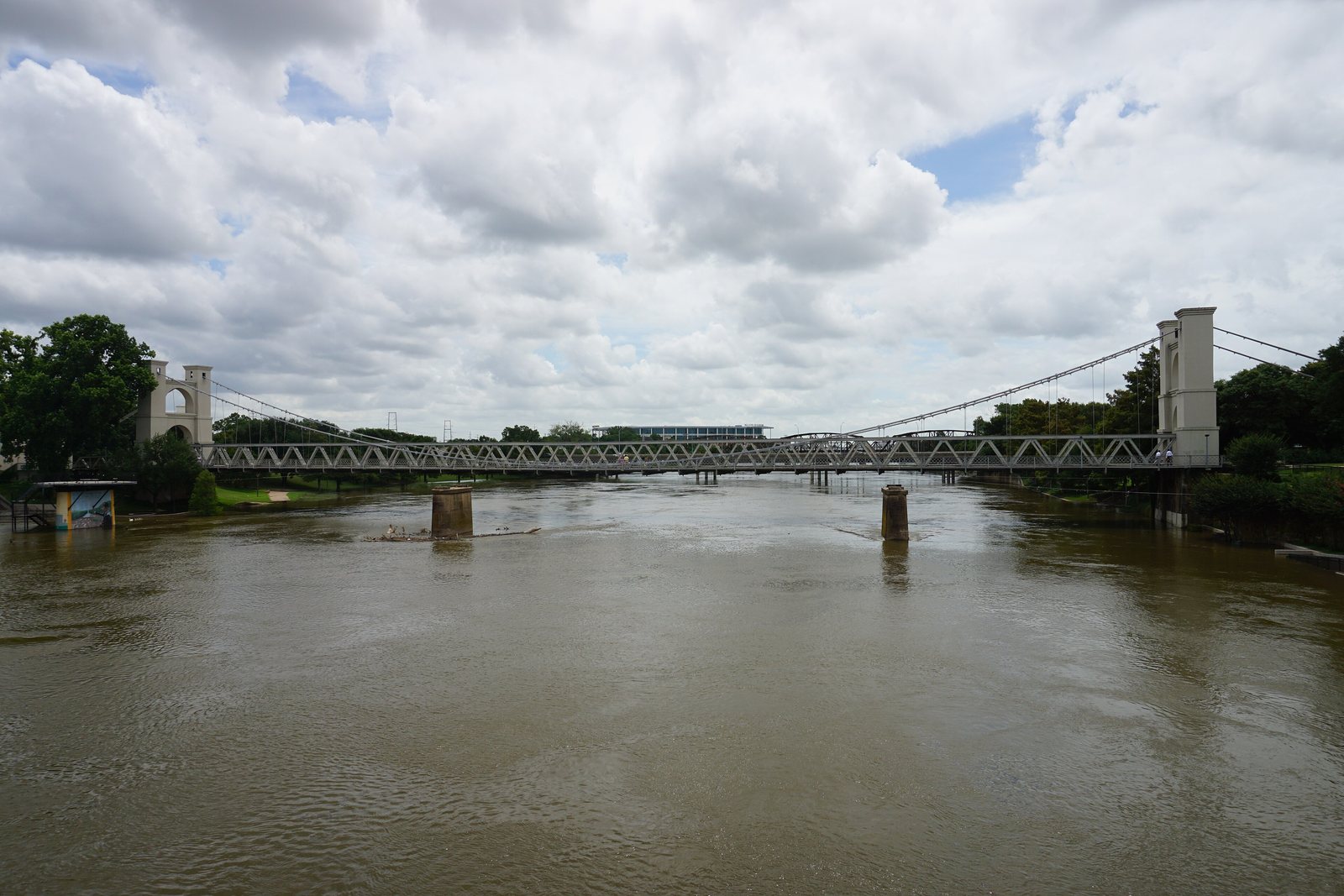
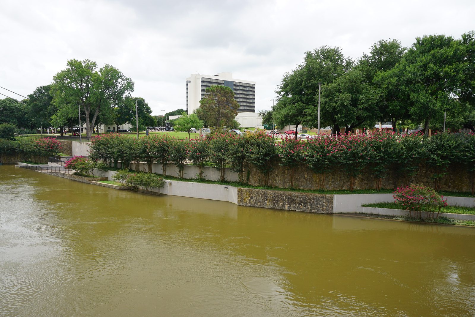
A spring in Cameron Park, a short walk from the parking lot named for it. A 1971 historical marker stands about a hundred feet south of that lot, on the land that started William Cameron Park.
No overnight camping · No overnight parking
About
6 minutes
from downtown Waco.
Best walked in spring and fall.
Plan this trip
02
No photograph of this falls has a clear right for us to reuse, and we will not take one that is not ours to use.
So this spot stays a sketch, for now.
Awaiting the Captain's camera
The waterfall
Tonkawa Falls
31.536639° N · 97.43177° W · Crawford, Texas
Tonk Creek drops about twenty feet off a rock shelf into a limestone basin, in a city park a little over 35 wooded acres on the east side of Crawford. The falls show up when the creek is running.
Creek-dependent · Closures posted by the city
About
30 minutes
from downtown Waco.
Go when Tonk Creek is running.
Plan this trip
03
The lake
Horseshoe Bay
30.53972° N · 98.3750° W · Lake LBJ, Texas Hill Country
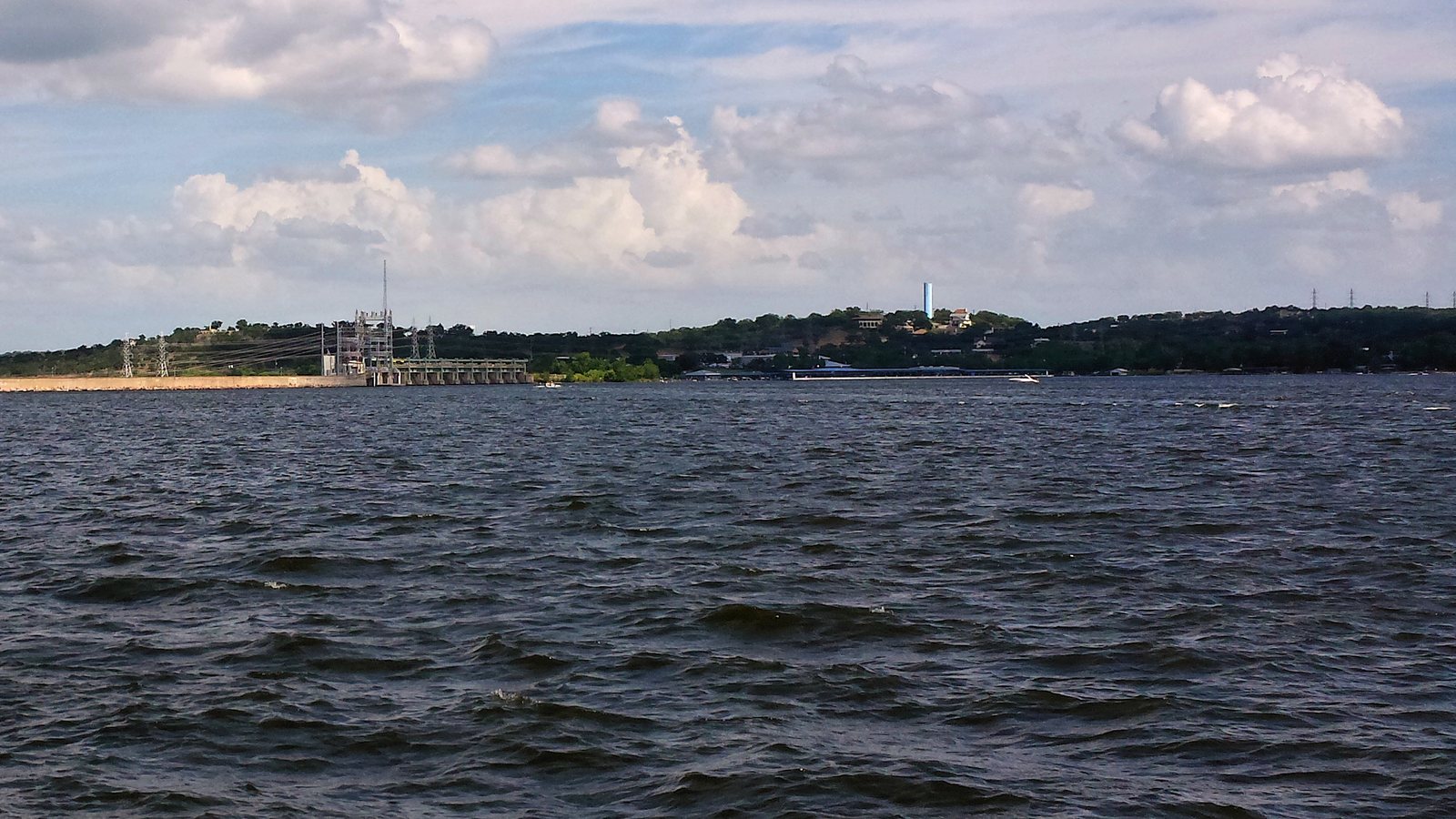
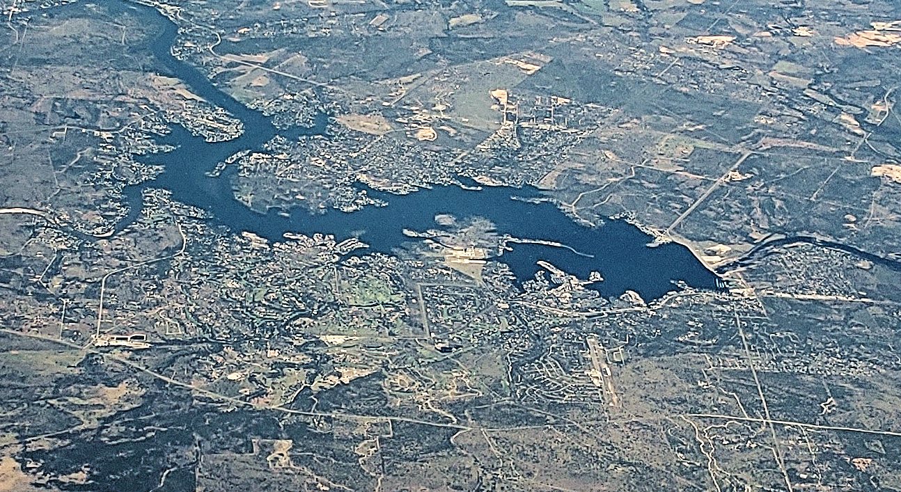
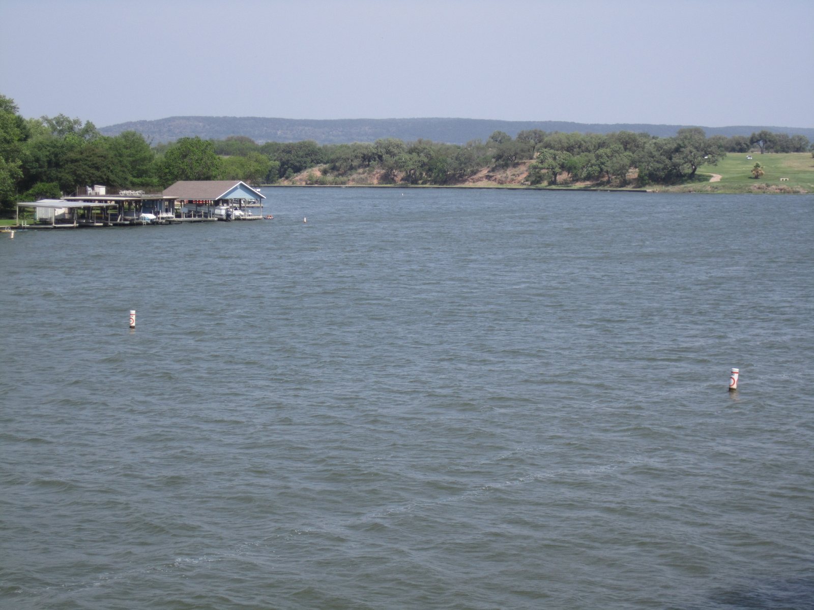
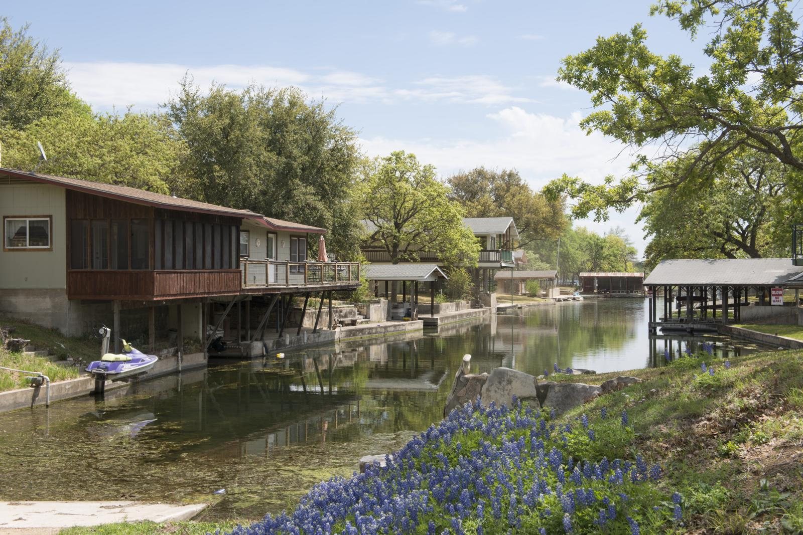
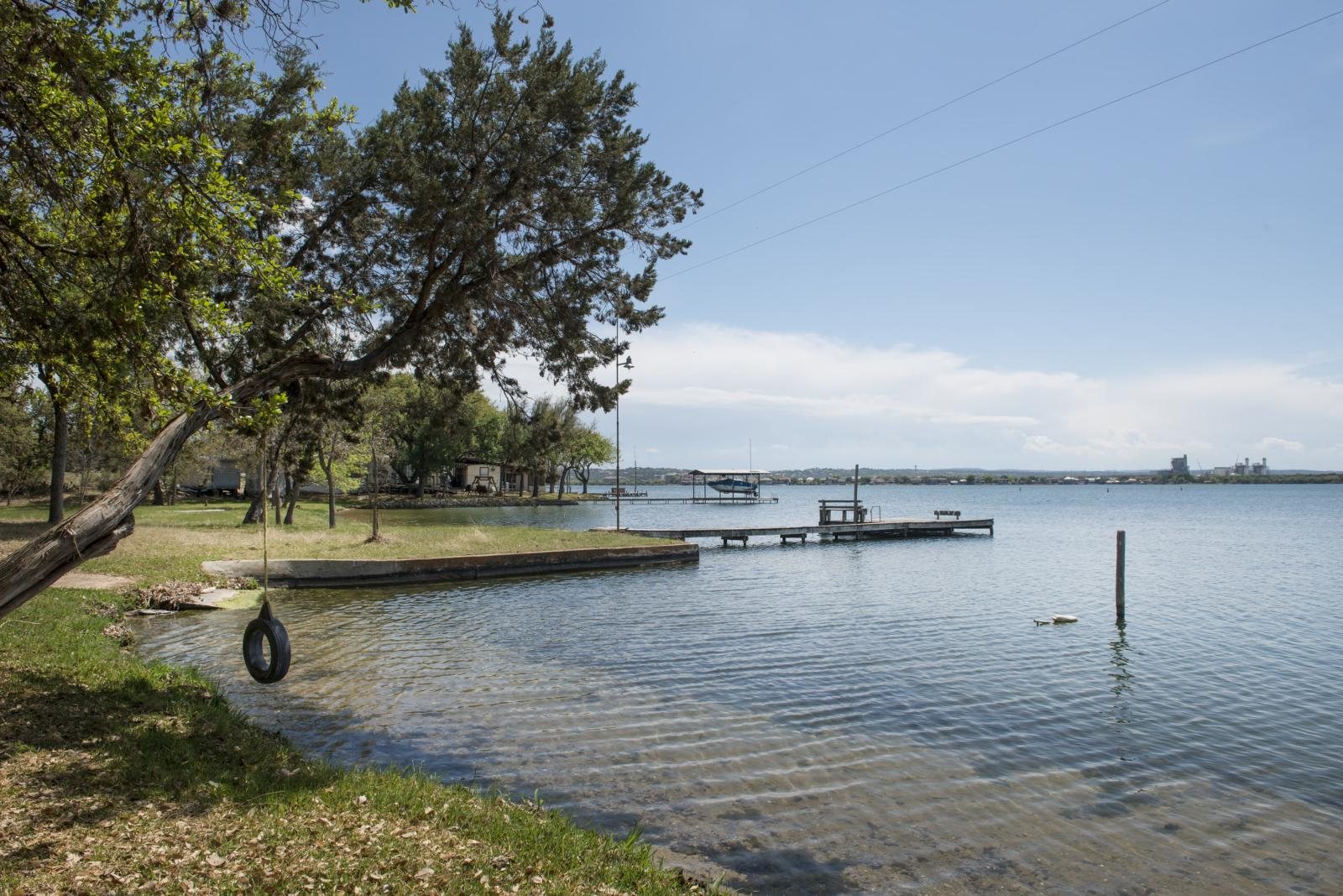
A city on the southern shore of Lake Lyndon B. Johnson, incorporated in September 2005. The 2020 census counted 4,257 residents. The lake is a Highland Lakes reservoir, about 8 miles west of Marble Falls.
Launch fee at the public ramp · Resort is a separate gate
About
2 hours 30 minutes
from downtown Waco.
A city on the southern shore of Lake LBJ.
Plan this trip
✦
Originally designated as a historical landmark in 1971, Proctor Springs offers a quiet and inviting getaway. Hiding just inside Cameron Park's main entrance, this little known getaway spot boasts fresh rolling spring water, multiple trails, disc golf activities, and a covered pavilion for barbques and gatherings.
Field note, October 2024, in his words
04
The swimming hole
Krause Springs
30.4805° N · 98.1459° W · Spicewood, Texas
Thirty-two springs on 115 acres the Krause family runs, with a built pool and a natural pool that drains toward Lake Travis. The spring site was added to the National Register of Historic Places on November 15, 1978.
No pets · No glass · Winter closure
About
2 hours 35 minutes
from downtown Waco.
Private springs and a campground outside Spicewood.
Plan this trip
05
The coast
Crystal Beach
29.4573° N · 94.6389° W · Bolivar Peninsula, Texas
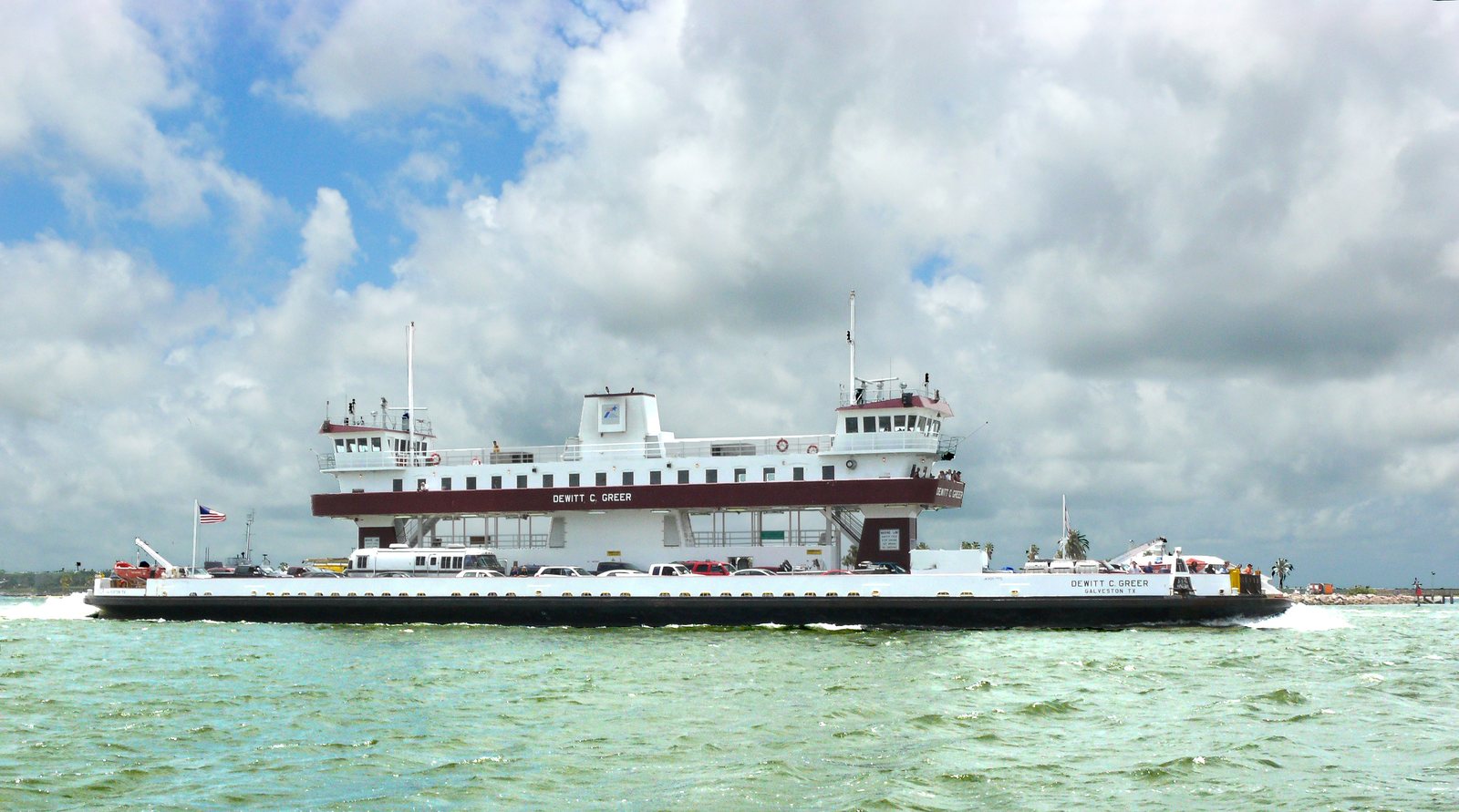
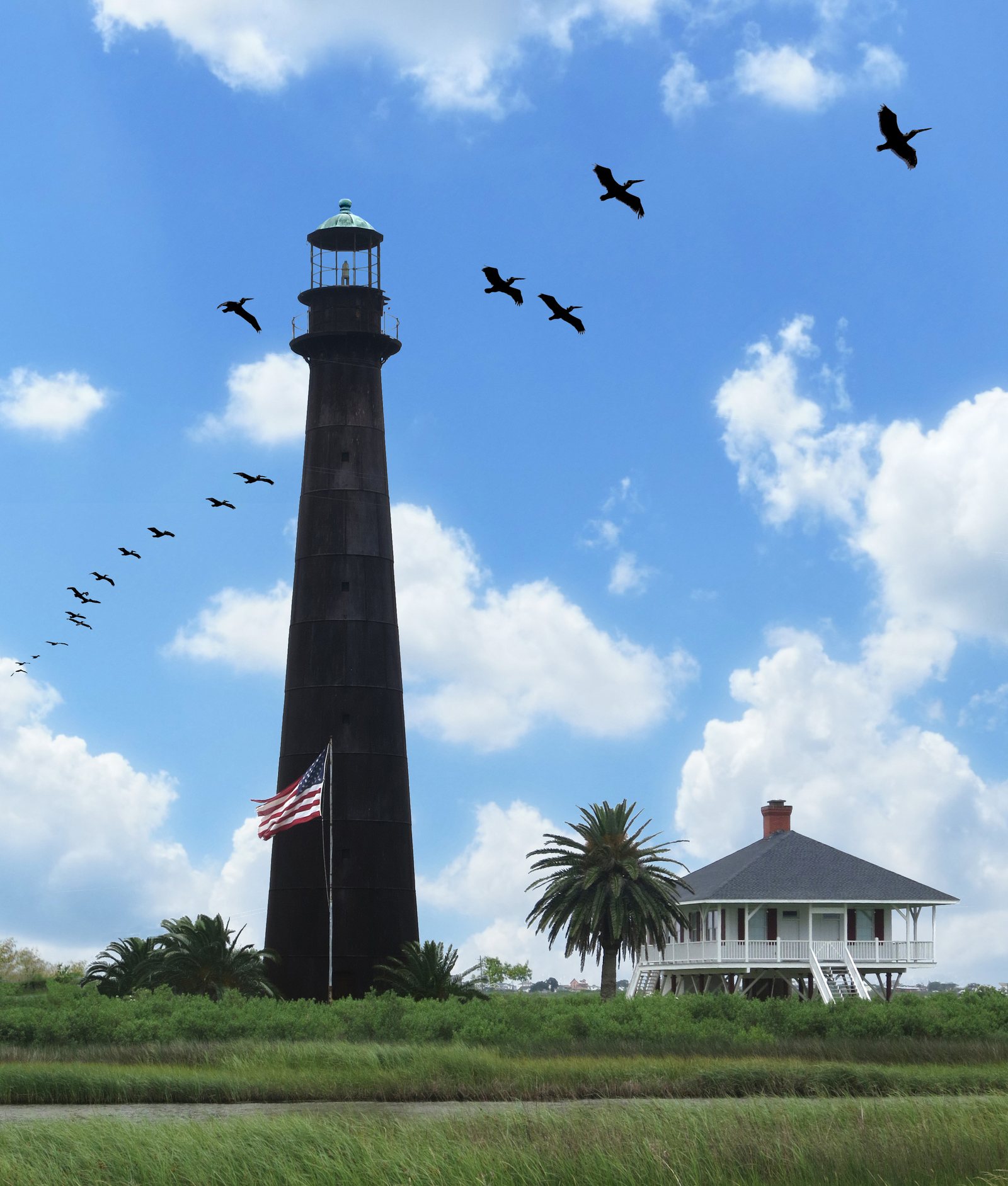
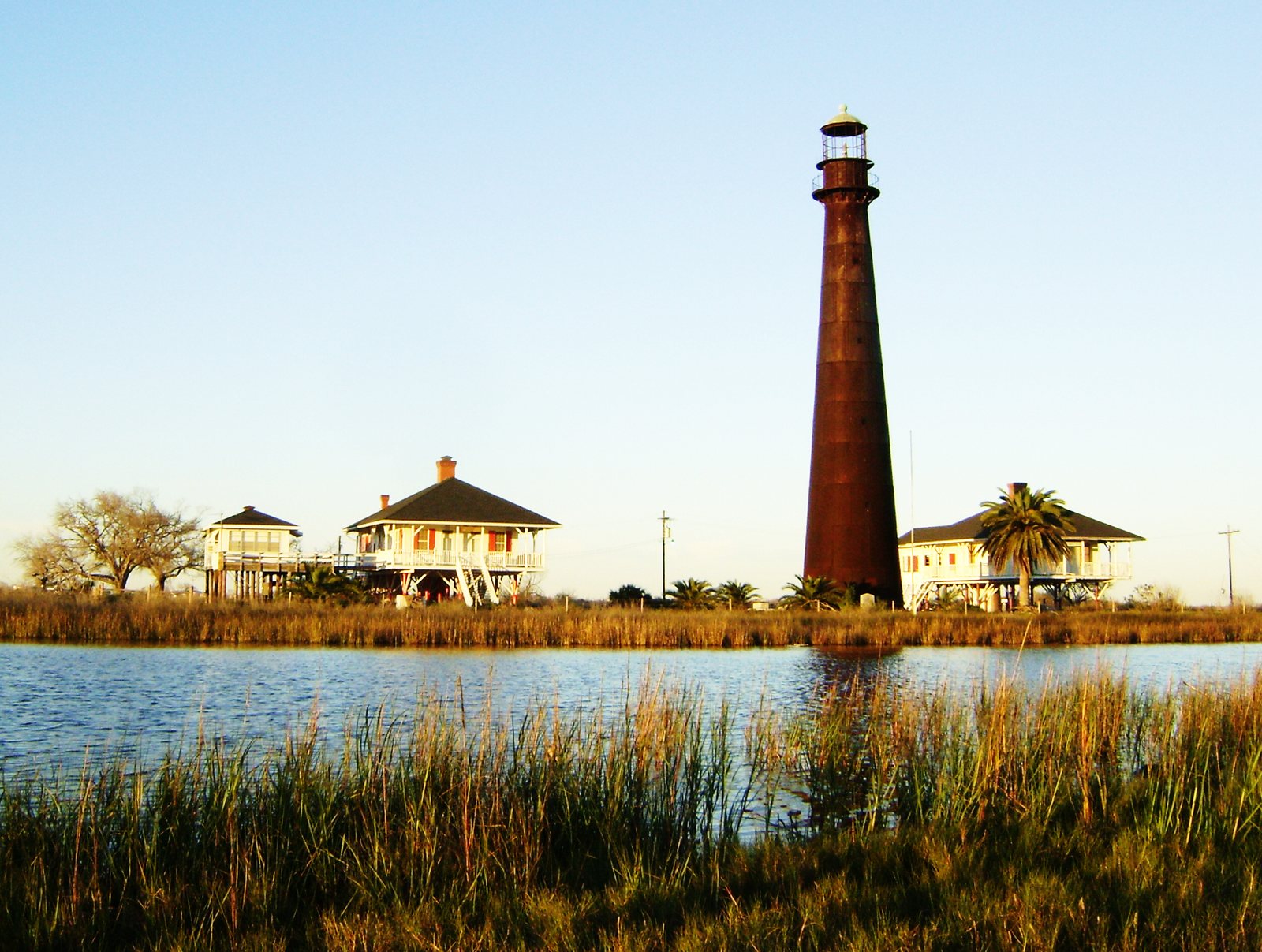
An unincorporated community on Bolivar Peninsula, strung along Highway 87 between the Gulf and the bay. The beach in front of it is public shoreline. The free ferry from Galveston is the short crossing, and the line is the long part on summer and holiday weekends.
Ferry lines · Sticker to park on the sand · No glass
About
4 hours 30 minutes
from downtown Waco.
Gulf shoreline on Bolivar Peninsula.
Plan this trip
The map is these five places.
Every place here has the drive from Waco, the cost, the reservation rule, the hours, and the catch, with a source and a check date. When we shoot these places ourselves, our own photos take these spots. Until then, every borrowed picture carries its photographer's name.